Indian Standard Time ...

Indian Standard Time ...


Indian Time Meridian (IST)  - Allahabad, India
The 
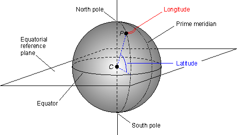
longitude against which Indian Standard time is set passes through Allahabad, India.
British India did not adopt the international standard time zones until 1905 when the meridian passing through Allahabad at 82.5º east (of Greenwich Meridian) longitude was picked as the central meridian for India, corresponding to a single time zone for the country at 5 hours and 30 minutes in advance of GMT.
This went into force on January 1, 1906. However, Calcutta time was officially maintained as a separate time zone until 1948. Bombay time was maintained but only informally until about 1955.

After independence and the partition of British India, Pakistan stayed on Indian Standard Time for three years and adopted Pakistan Standard Time at 5 hours in advance of GMT in 1951.

Map of Allahabad, India

A map of Allahābād, Uttar Pradesh, India. Click to see the map on MSN Maps & Directions

Understanding Latitues and Longitudes of earth...

Understanding Latitues and Longitudes of earth...
Latitude and longitude are angles that uniquely define points on a sphere. Together, the angles comprise a coordinate scheme that can locate or identify geographic positions on the surfaces of planets such as the earth.
latitude and longitude mapLatitude is defined with respect to an equatorial reference plane. This plane passes through the center C of the sphere, and also contains the great circle representing the equator. The latitude of a point P on the surface is defined as the angle that a straight line, passing through both P and C, subtends with respect to the equatorial plane. If P is above the reference plane, the latitude is positive (or northerly); if P is below the reference plane, the latitude is negative (or southerly). Latitude angles can range up to +90 degrees (or 90 degrees north), and down to -90 degrees (or 90 degrees south). Latitudes of +90 and -90 degrees correspond to the north and south geographic poles on the earth, respectively.

Longitude is defined in terms of meridians, which are half-circles running from pole to pole. A reference meridian, called the prime meridian , is selected, and this forms the reference by which longitudes are defined. On the earth, the prime meridian passes through Greenwich, England; for this reason it is also called the Greenwich meridian. The longitude of a point P on the surface is defined as the angle that the plane containing the meridian passing through P subtends with respect to the plane containing the prime meridian. If P is to the east of the prime meridian, the longitude is positive; if P is to the west of the prime meridian, the longitude is negative. Longitude angles can range up to +180 degrees (180 degrees east), and down to -180 degrees (180 degrees west). The +180 and -180 degree longitude meridians coincide directly opposite the prime meridian.

earth coordinates lat lon
Latitude and longitude coordinates on the earth are sometimes extended into space to form a set of celestial coordinates.

That's about all there is to latitude and longitude coordinates! Here's some tips to remember:
  •  Latitude is always given before longitude (49° N 100° E)
  •  Latitudes are parallel, but longitudes are not
  •  Degrees West and South are sometimes referred to as negative degrees (-12° -23° is the same as 12 S 23 W)
  • A place's latitude effects its climate, but its longitude does not
  • Key longitude lines are the Prime Meridian (0°) and the International Date Line (180°)
  • Key latitude lines include the equator (0°), tropic of cancer (23° 26' N), tropic of capricorn (23° 26' S), the arctic circle (66° 33' N), and the antarctic circle (66° 33' S)
  •  Find your location from your latitude/longitude at this page